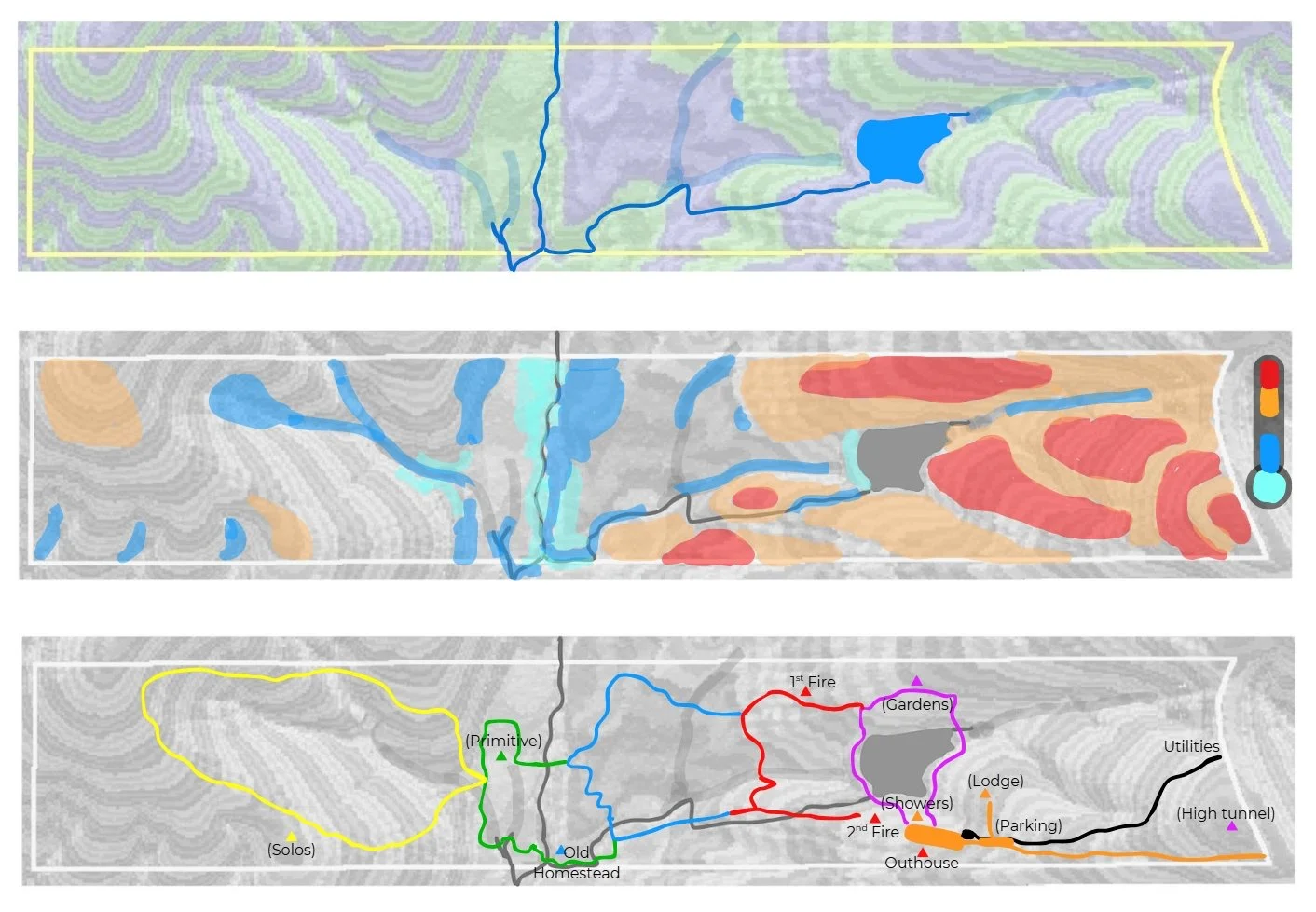
Understand Your Land.
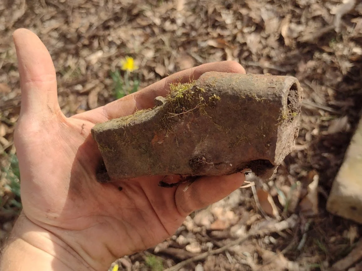
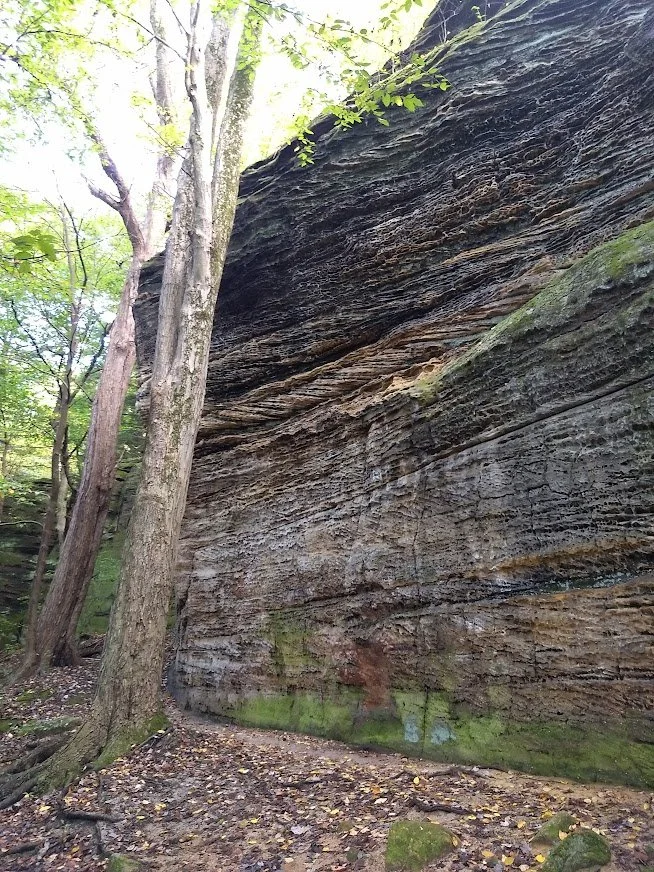
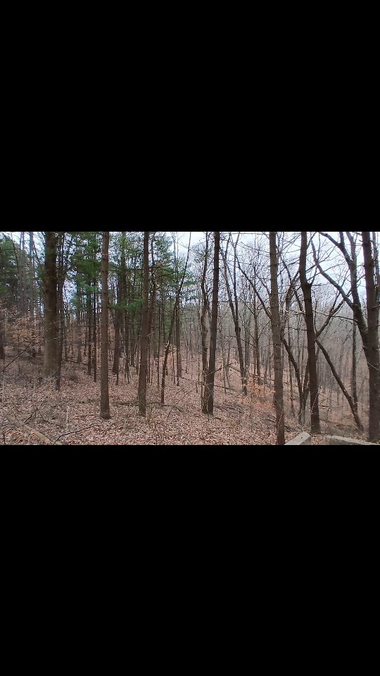
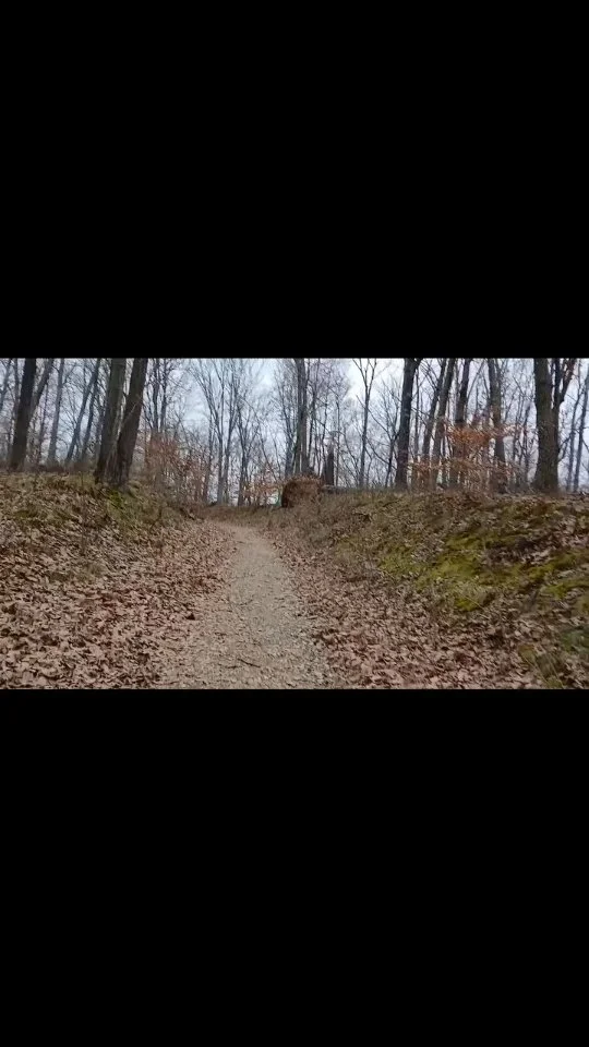
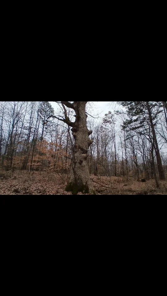
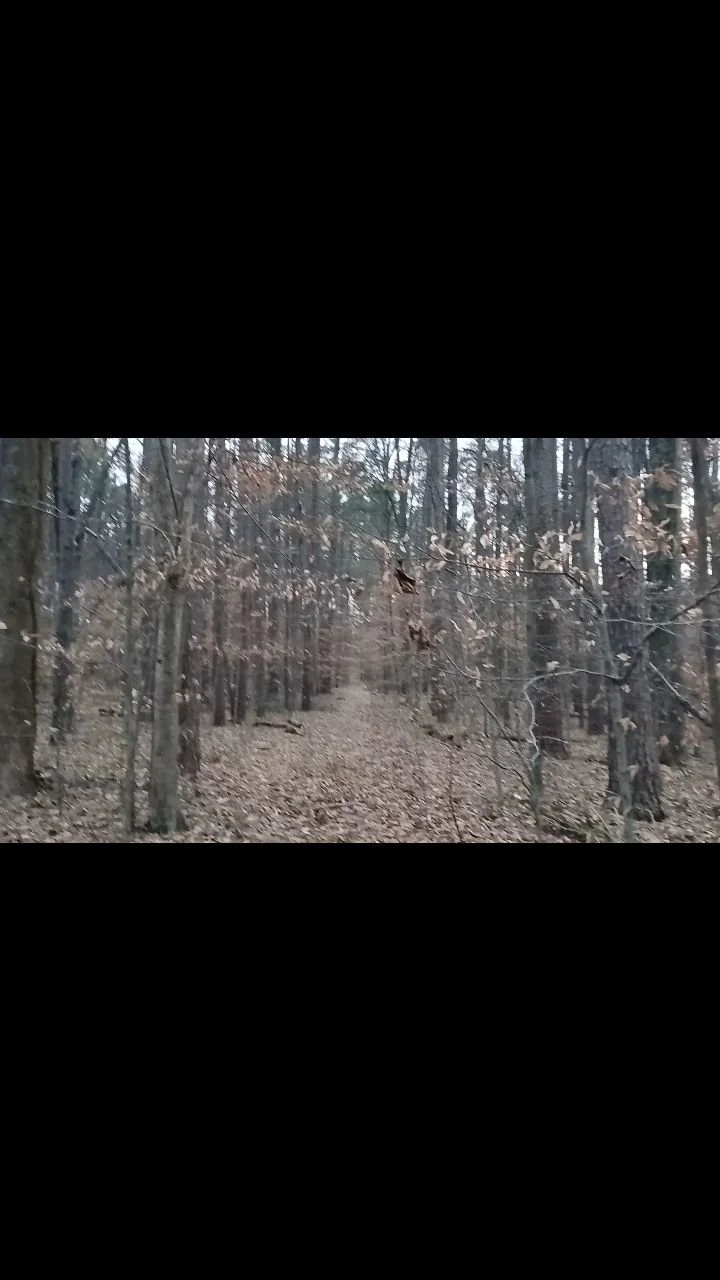
Geohistorical consulting is a deep dive into physical evidence of the past on a property, including rock strata, soil horizons, forest succession, and historic documentation.
Through this data interpretive maps and timelines are created to give professional recommendations on land management and future development.
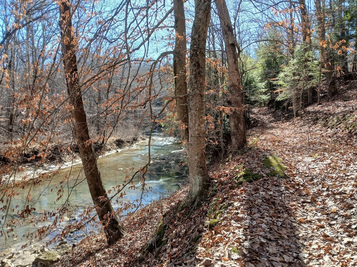
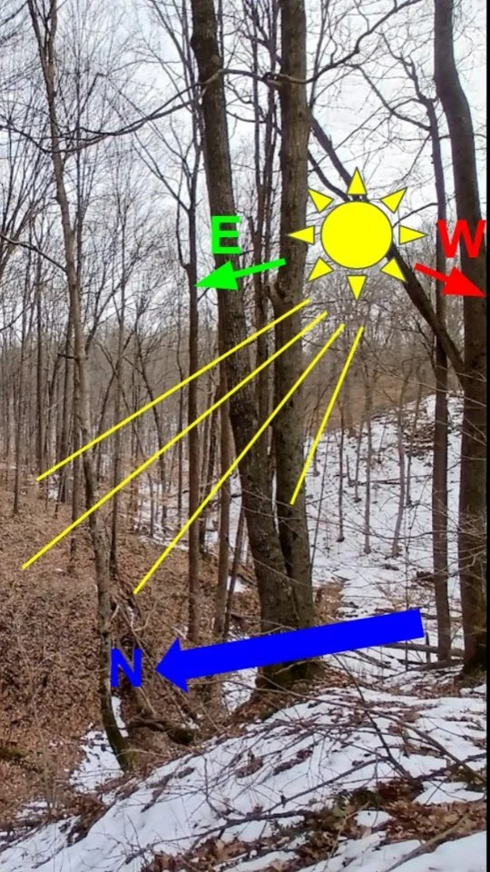
This is important for seeing long term scale of weather patterns and ecological events. Plant and animal communities may have relationships revealed only when considering the entirety of ecological factors as well.
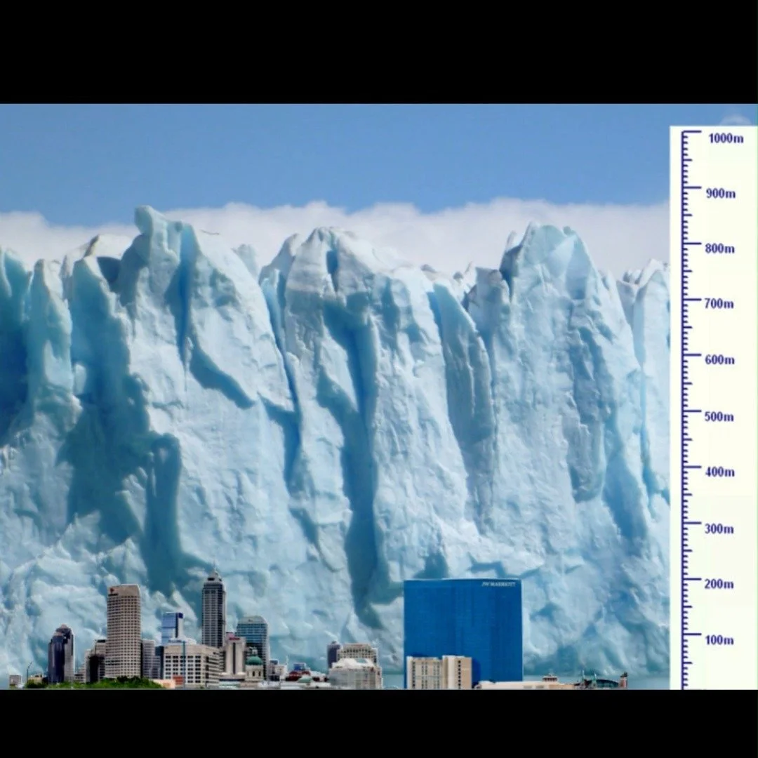
Geology 🪨
History 🪦
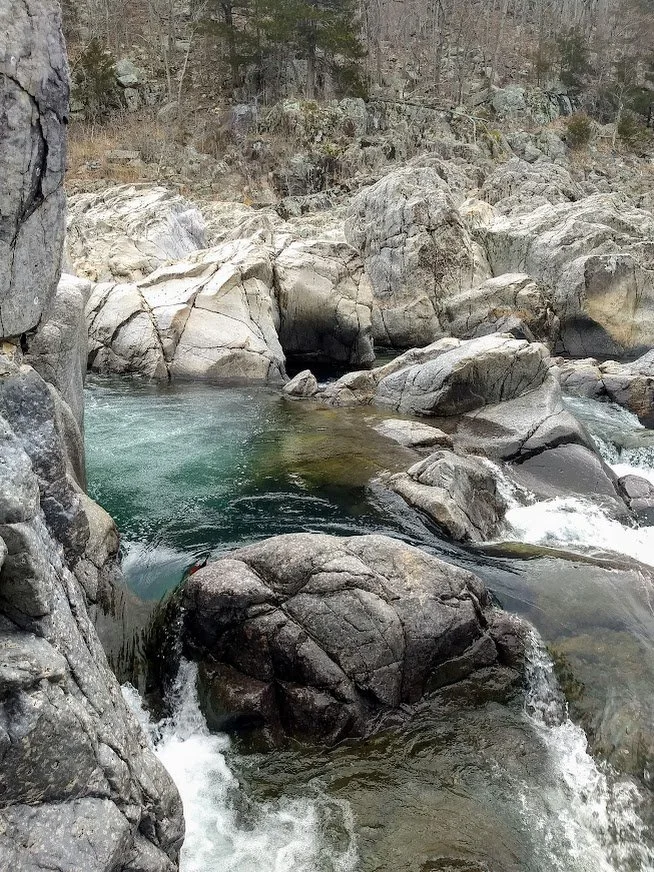
Hydrology 🌊
Soil 🌱
Fauna 🐾
Flora 🥬
Land Services:
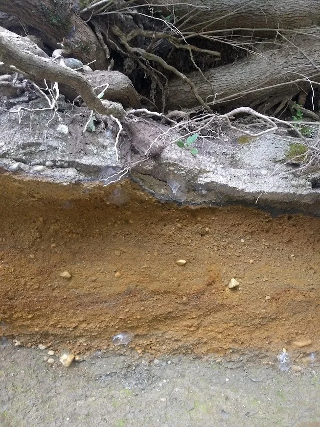
Topographic Issue
🪨🌱🌊
Water pooling? Hillside slipping? Buried rocks?
A few minimally invasive soil profiles can solve it!
$35 /hr
1-2 survey visits, + Remediation Report
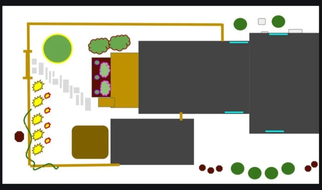
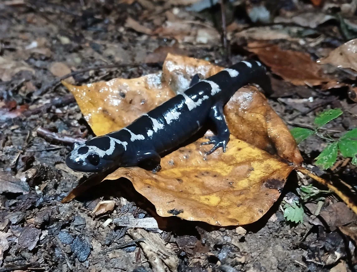
Ecological Survey
🥬🐾
Wondering about animal population counts or species?
Tracking and observation reveal hidden wildlife!
$400 + $50/acre
Plant and Animal species count, +Population Map
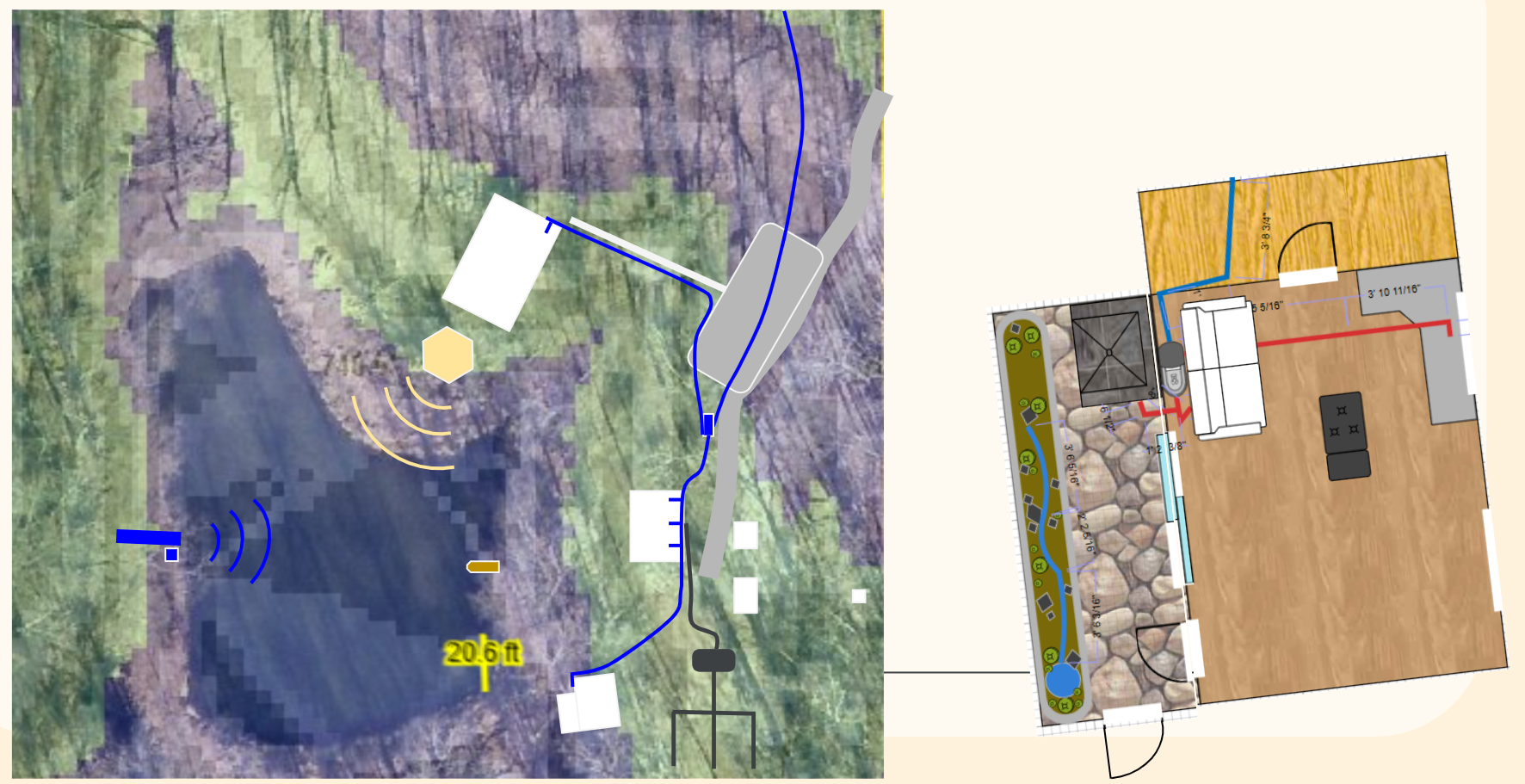
Holistic Observation
🪦🥬🐾🪨🌱🌊
Want to know everything from bedrock to paleoclimate?
$2500
+Comprehensive Land History,
+4 Maps:
Watershed
Temperature
Bedrock and Soil
Plants and Animals

Follow on Instagram:
@landreadingindiana
Contact Us
Interested in working together? Fill out some info and we will be in touch shortly. We can’t wait to hear from you!